
Copenhagen has an extensive road network including motorways connecting the city to other parts of Denmark and to Sweden over the Øresund Bridge. The car is still the most popular form of transport within the city itself, representing two-thirds of all distances travelled. This can however lead to serious congestion in rush hour traffic.

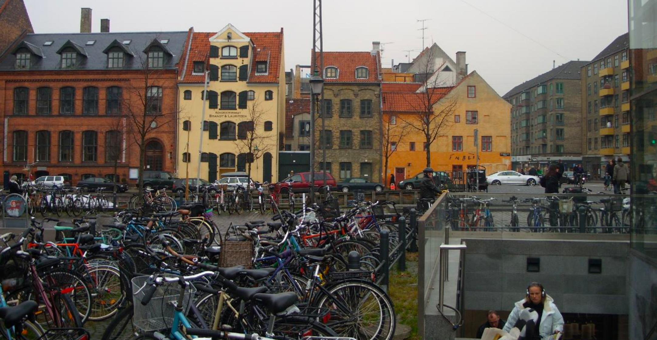
The Danish capital is known as one of the most bicycle-friendly cities in the world, with bicycles actually outnumbering its inhabitants. In 2012 some 36% of all working or studying city-dwellers cycled to work, school, or university. With 1.27 million km covered every working day by Copenhagen’s cyclists (including both residents and commuters), and 75% of Copenhageners cycling throughout the year. The city’s bicycle paths are extensive and well used, boasting 400 kilometres (250 miles) of cycle lanes not shared with cars or pedestrians, and sometimes have their own signal systems – giving the cyclists a lead of a couple of seconds to accelerate.